
More heat translates into more wind; specifically, stronger hurricanes are getting stronger over the years, as illustrated by the inmage on the right from James Elsner et al. (2008).
Additionally, sea levels are rising, especially on the Atlantic coast of North America, which is a hotspot of accelerated sea-level rise, as described in a study by Sallenger et al. (2012).
Generally, global warming will cause more extreme weather events, says James Hansen (2012). This is especially the case for heavy rainfall events, since global warming causes more evaporation of seawater, while warm air can also carry more water. According to Kevin Trenberth (2011), the water holding capacity of air increases by about 7% per 1°C warming, which leads to increased water vapor in the atmosphere. Hence, storms, whether individual thunderstorms, extratropical rain or snow storms, or tropical cyclones, supplied with increased moisture, produce more intense precipitation events. All this leads to a greater hurricane danger; they can be expected to be stronger and wetter, causing flooding and further devastation along the east coast of North America.
The situation in the Arctic is making things even worse. Several studies, such as by Jennifer Francis (2012), by Greene et al. (2012) and by Liu et al. (2012), show that atmospheric circulation is changing as a result of sea ice loss. This circulation change results in more frequent episodes of blocking patterns that lead to increased cold surges over large parts of northern continents. Moreover, sea ice loss results in an increase in atmospheric water vapor content in the Arctic region during late autumn, and this provides enhanced moisture sources.
More open water in the Arctic Ocean results in more warming of the overlying atmosphere. This warming can be expected to change precipitation. An analysis by Julienne Stroeve (2011) shows an autumn increase in cyclone-associated precipitation over the past decade, linked to a shift in atmospheric circulation towards more frequent and more intense cyclones in the Atlantic sector of the Arctic.
The authors added that more research was needed; indeed, the devastation caused by Sandy calls for further analysis. Warming in the Arctic is accelerating at a pace several times that of the rest of the world, as a result of multiple feedbacks as described in the post Diagram of Doom; changing of the jet stream is only one out of multiple feedbacks.
Changes to the jet stream were behind Sandy's path inland. A strong and prolonged high pressure area over Greenland blocked Sandy from going north or east. This also caused it to spread out and to hang around for such a long time.
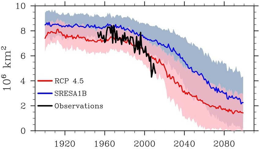
Big changes are taking place in the Arctic, in terms of sea ice loss, snow line retreat and albedo change in Greenland. Without more effective action on climate change, weather events like this can therefore be expected to hit the east coast of North America more often and with increasing force in future.
References
- The increasing intensity of the strongest tropical cyclones, James Elsner et al. (2008)
http://www.nature.com/nature/journal/v455/n7209/abs/nature07234.html
- Hotspot of accelerated sea-level rise on the Atlantic coast of North America, Asbury Sallenger et al. (2012)
http://www.nature.com/nclimate/journal/vaop/ncurrent/full/nclimate1597.html
- Perception of climate change, James Hansen et al. (2012)
http://www.pnas.org/content/109/37/E2415
- Changes in precipitation with climate change, Kevin Trenberth (2011)
http://www.cgd.ucar.edu/cas/Trenberth/trenberth.papers/SSD_Trenberth_2nd_proof.pdf
- Linking Weird Weather to Rapid Warming of the Arctic, Jennifer Francis (March 2012)
http://e360.yale.edu/feature/linking_weird_weather_to_rapid_warming_of_the_arctic/2501/
- An Arctic wild card in the weather, Chuck Greene and Bruce Monger (2012)
http://www.tos.org/oceanography/archive/25-2_greene.html
http://www.news.cornell.edu/stories/June12/arcticWildcard.html
- Impact of declining Arctic sea ice on winter snowfall, Jiping Liu et al. (2012)
http://www.lasg.ac.cn/UpLoadFiles/File/papers/2012/2012-pnas.jiping_liu.pdf
- Attribution of recent changes in autumn cyclone associated precipitation in the Arctic, Julienne Stroeve et al. (2011)
http://onlinelibrary.wiley.com/doi/10.1111/j.1600-0870.2011.00515.x/abstract
http://www.tellusa.net/index.php/tellusa/article/view/15846/17736
poster at:
http://soa.arcus.org/sites/soa.arcus.org/files/sessions/2-3-arctic-change-and-natural-variability/pdf/stroeve.pdf
Related
- Warming Gulf Stream causes methane release
http://arctic-news.blogspot.com/2012/10/warming-gulfstream-causes-methane-release.html
- Diagram of Doom
http://arctic-news.blogspot.com/2012/08/diagram-of-doom.html
- Opening further Doorways to Doom
http://arctic-news.blogspot.com/2012/08/opening-further-doorways-to-doom.html
- Climate Change Sandy Says to US: 'Take That, Idiots!'
http://arctic-news.blogspot.com/2012/10/climate-change-sandy-says-to-us-take-that-idiots.html
- Hurricane Sandy moving inland
http://arctic-news.blogspot.com/2012/10/hurricane-sandy-moving-inland.html
- Big changes in Arctic within years
http://arctic-news.blogspot.com/2012/10/big-changes-in-arctic-within-years.html


